Lake Info & State Management
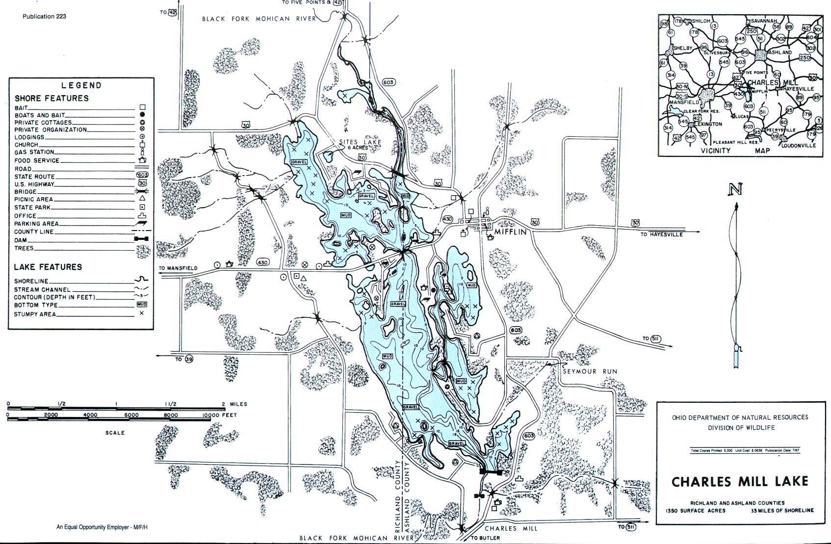
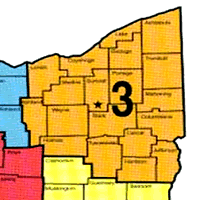
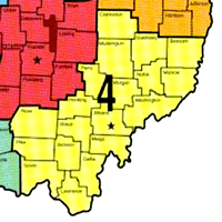
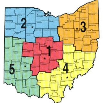
Charles Mill Lake is in Richland and Ashland counties. The lake covers 1350 acres of fishing water with 33 miles of shoreline. It is in Ohio Division of Wildlife District Three.
Location ~ Charles Mill Lake is just west of Mansfield at Mifflin. State Route 30 provides easy access and State Route 603 runs along the east side of the lake.
Distance from Major Cities ~ Approximately 60 miles southwest of Cleveland. Approximately 60 miles northeast of Columbus. Approximately 90 miles southeast of Toledo.
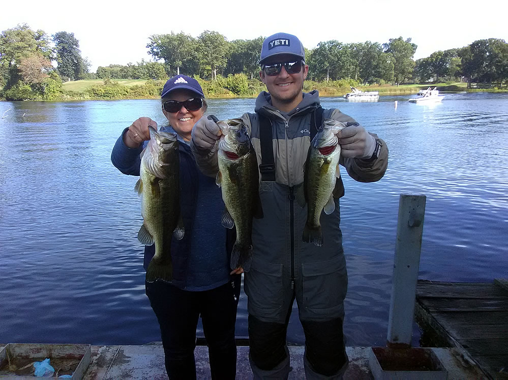
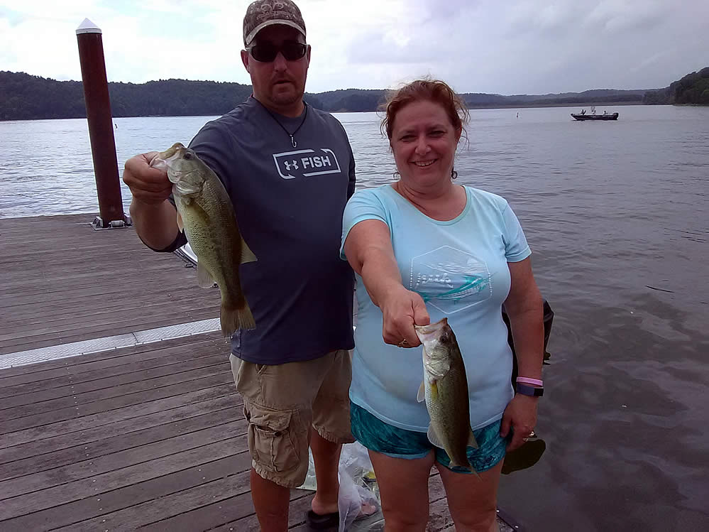
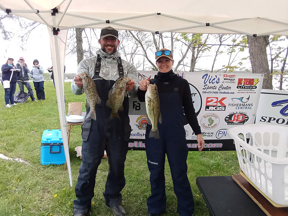
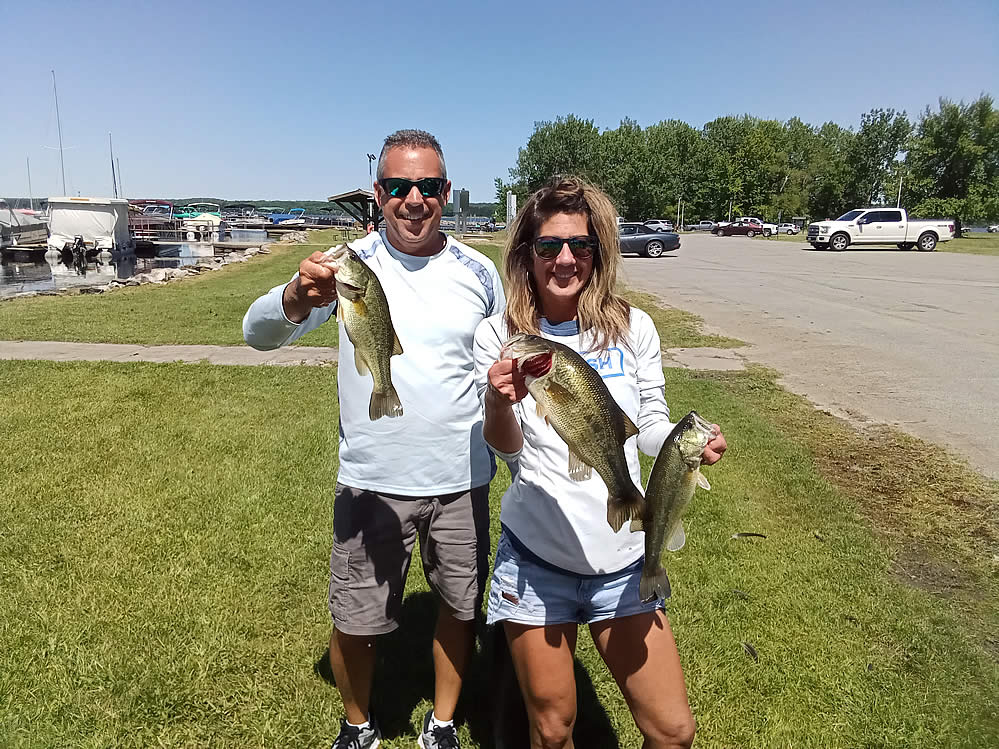
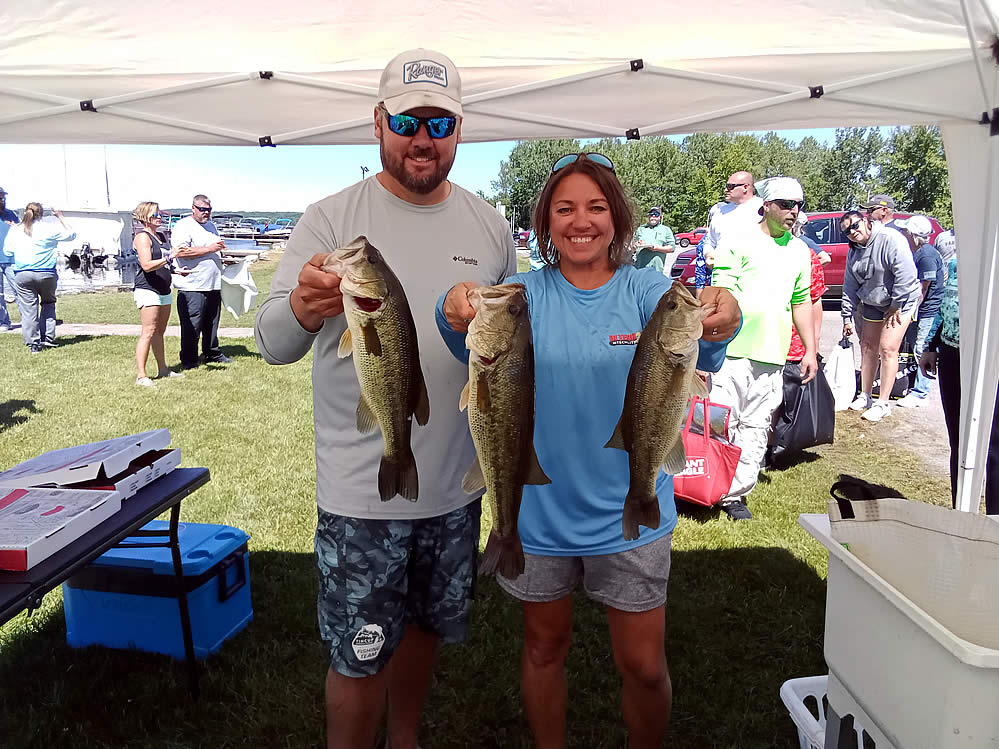
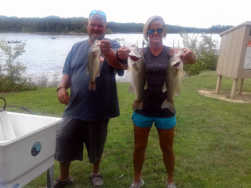
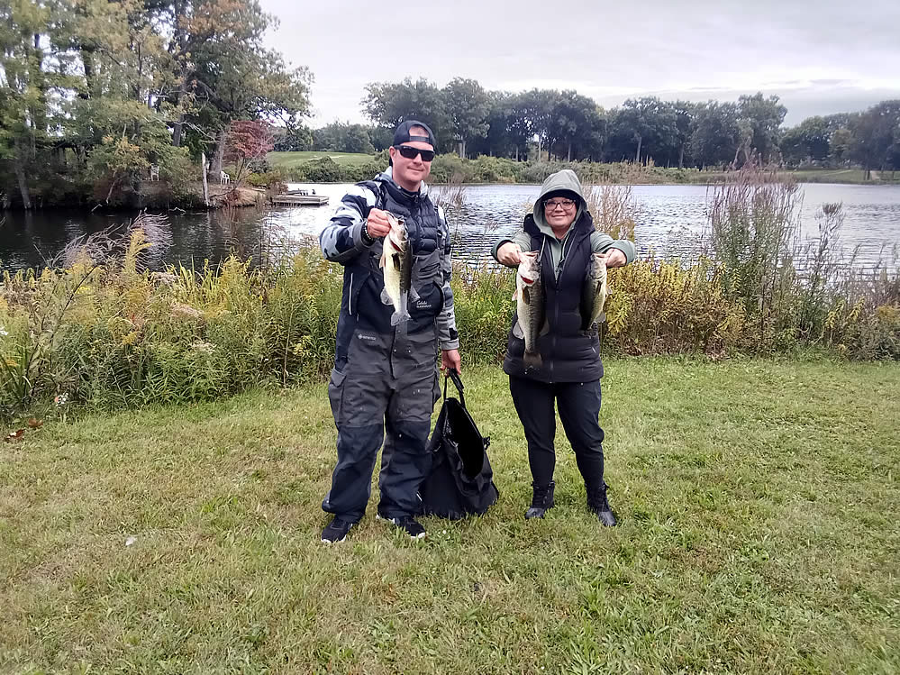
Fishing Opportunities at Charles Mill Lake include *Largemouth Bass *Bluegill *White and Black Crappie *Channel Catfish *Flathead Catfish. Saugeye have been stocked in the lake since 1982.
Boating Information ~ Boat Rentals are available. There is a 10-hp limit. The lake also features: camping ~ picnic areas ~ swimming beaches.
Ohio Division of Wildlife activities include stockings ~ fish population monitoring ~ water quality management.
Charles Mill Lake ~ Google Maps
Lake Erie Walleye Fall Brawl Winners Announced!
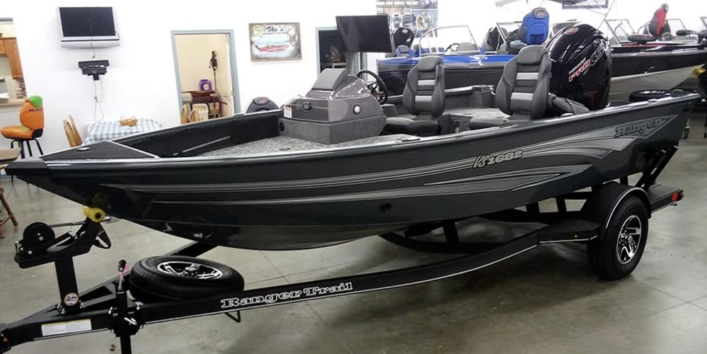
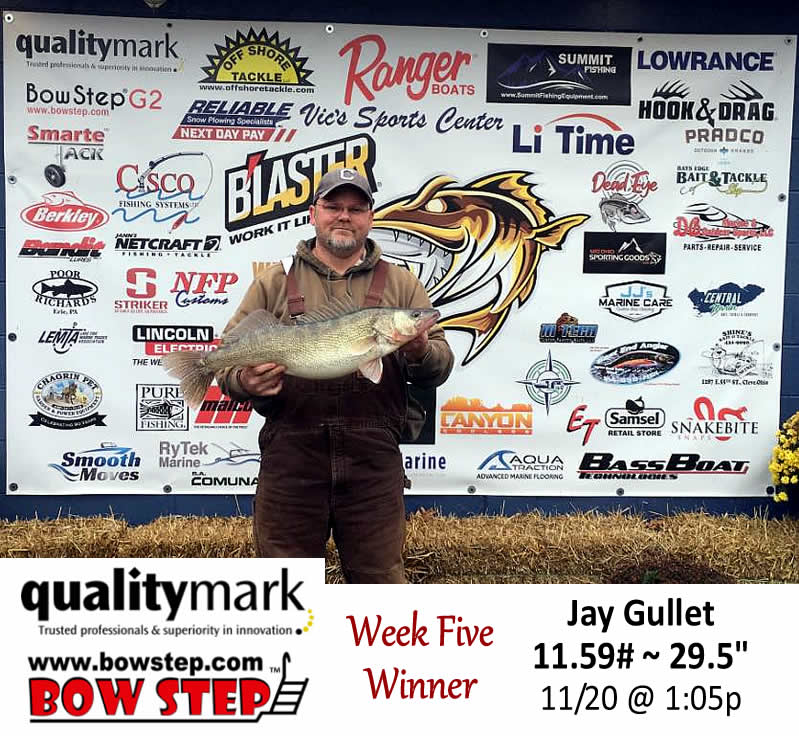
The top three places of the 2025 Lake Erie Walleye Fall Brawl have been verified and announced. Congratulations to Jay Gullet, winner of a 2026 Ranger 622 FS! He weighed an 11.59#, 29.5″ walleye November 20th. Some wild weather
GoFishOhio Fishing Polls….
Winter Pool Bass Fishing
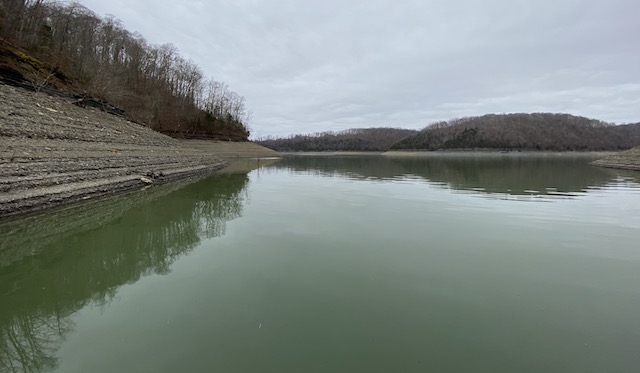
Many Ohio lakes have been drawn down to winter pool, leaving dry & exposed the normal shallow water areas bass hang out in. So, where do bass hang out until the lake fills
Turn In a Poacher (1-800-POACHER)
Ohio’s Turn In a Poacher -“TIP” program – helps to curtail poaching throughout the state by involving the public in reporting wildlife violations. If you observe a wildlife violation, click here and submit the form online or print the form and mail to:
TIP Headquarters, Division of Wildlife
2045 Morse Rd., Bldg G | Columbus, Ohio 43229-6693
Or call the TIP toll-free hotline, 1-800-POACHER.
In search of an experienced team to help your fishing/outdoors business to target & attract more anglers & hunters? Since 1997, from website development & hosting to full-service management with complete e-commerce services – FutuRealm is the one-source solution. Click here to get on board!

