Lake Info & State Management
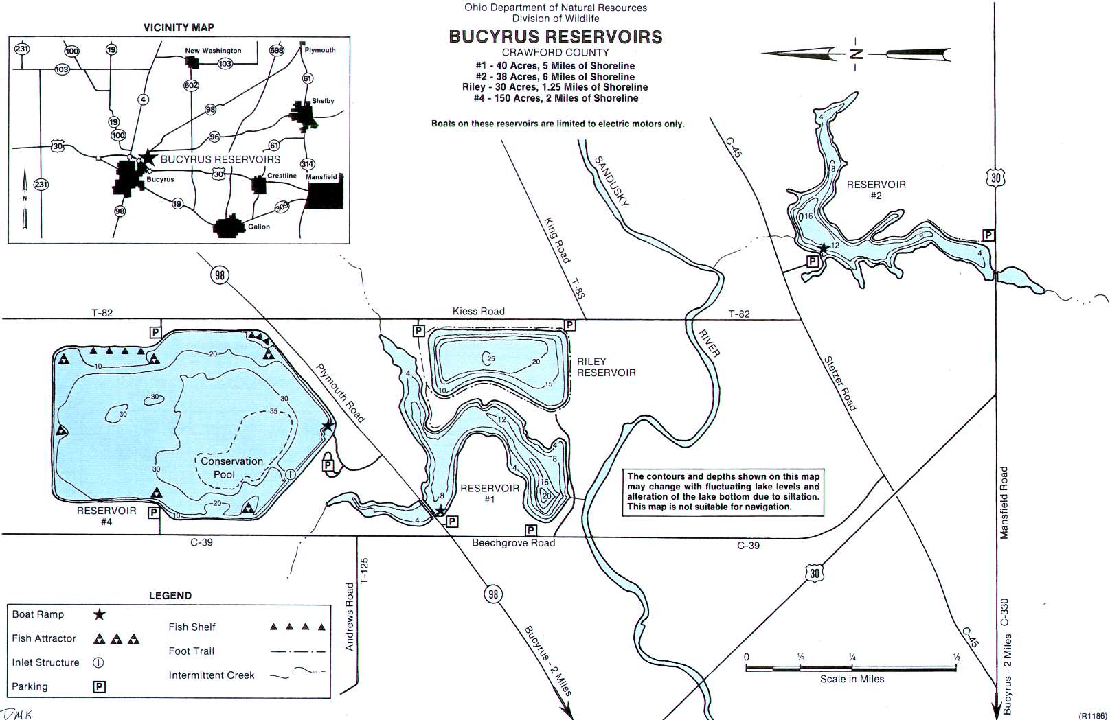
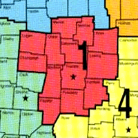
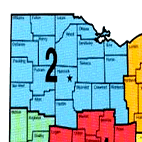
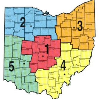
Bucyrus Reservoirs,The Bucyrus Reservoirs are two miles northeast of Bucyrus. Reservoir #1 covers 40 acres and averages 7 feet deep. Reservoir #2 covers 38 acres and averages 7 feet deep. Riley Reservoir (#3) covers 30 acres and has an average depth of 22 feet. Reservoir #4 covers 150 acres with an average depth of 27 feet. These reservoirs are in Ohio Division of Wildlife District Two(2).
Location,Two miles northest of Bucyrus along State Route 98 and Stetzer Road (County Road 45). Reservoirs #1 and #4 can be reached directly off of State Route 98. Riley lies south of Route 98 on Kiess Road (Township Road 82). Reservoir #2 can be reached on County Road 45 east of Kiess Road and also US Route 30 to the south.
Distance from Major Cities ~ Approximately 80 miles southwest of Cleveland. Approximately 60 miles north of Columbus. Approximately 70 miles southeast of Toledo.
Fishing Opportunities: Reservoir #1; *Largemouth Bass *Northern Pike *Bluegills *Crappies *Bullheads *Carp *Sunfish. Reservoir #2; *Largemouth Bass *Channel Catfish *Bullheads *Crappies *Bluegill *Sunfish *Carp. Riley Reservoir (#3); *Walleye *White Bass *Channel Catfish *Large and Smallmouth Bass *Bullheads *Bluegill *Rock Bass. Reservoir #4; *Yellow Perch *Large and Smallmouth Bass *Channel Catfish *Bullheads *Walleye *Rock Bass *Bluegill.
Boating Information ~ There is NO boat rental. There are primitive boat ramps at all reservoirs except Riley Reservoir.
The Division of Wildlife activities include ~ monitoring fish populations ~ angler harvest studies ~ water quality analysis.
Lake Erie Walleye Fall Brawl Winners Announced!
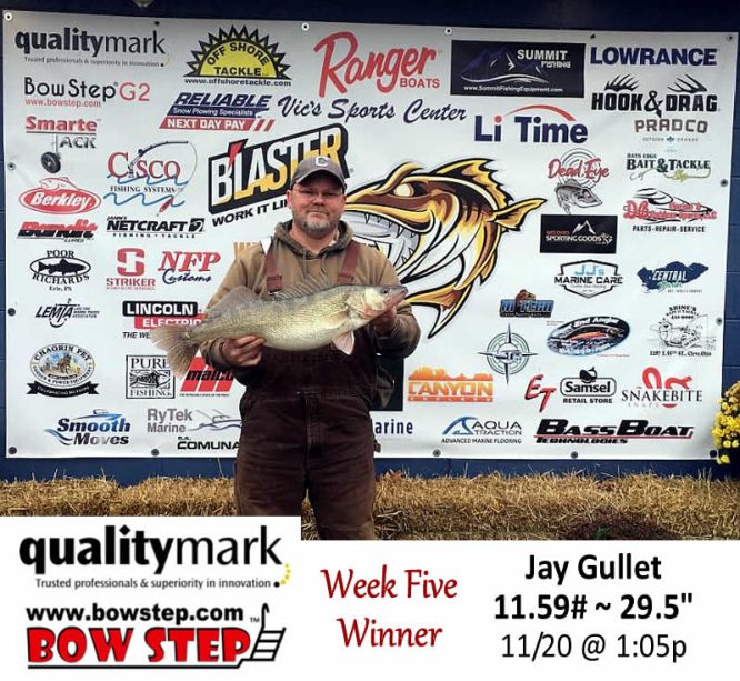
The top three places of the 2025 Lake Erie Walleye Fall Brawl have been verified and announced. Congratulations to Jay Gullet, winner of a 2026
Lake Erie Walleye Fall Brawl Winners Announced!
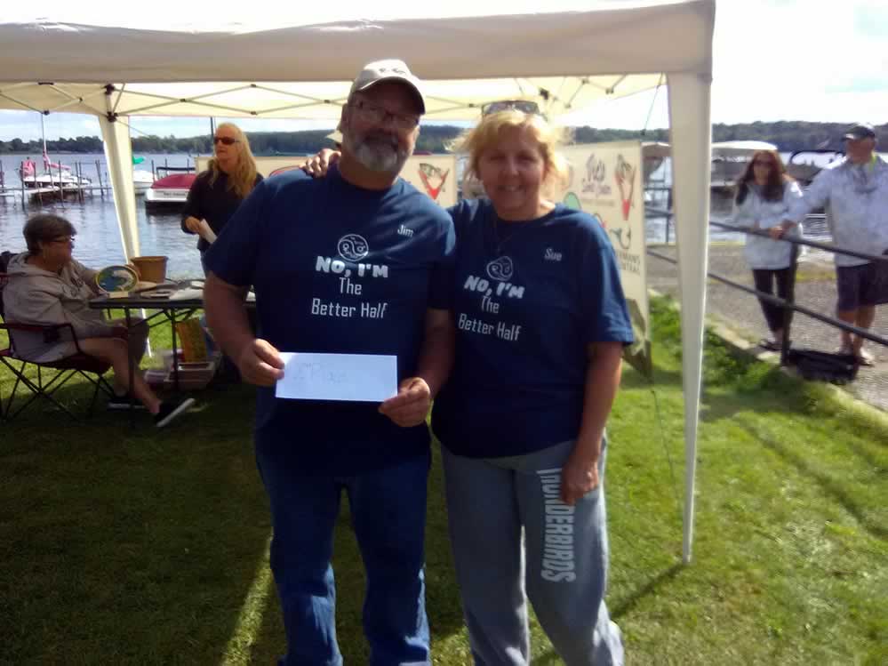
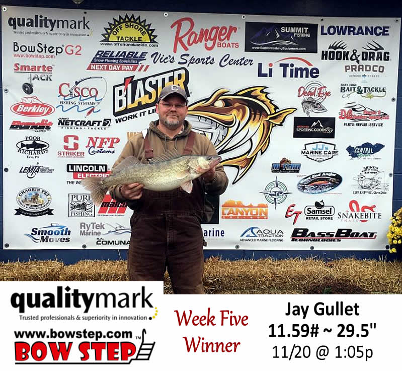
The top three places of the 2025 Lake Erie Walleye Fall Brawl have been verified and announced. Congratulations to Jay Gullet, winner of a 2026 Ranger 622 FS! He weighed an 11.59#, 29.5″ walleye November 20th. Some wild weather during the last week probably had him biting his nails up to the end. Second place winner
Ohio Adventures ~ (we went fishing!)
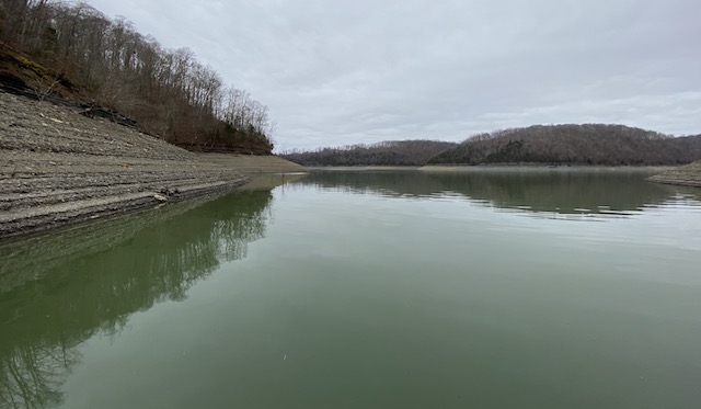
Winter Pool Bass Fishing
Many Ohio lakes have been drawn down to winter pool, leaving dry & exposed the normal shallow water areas bass hang out in. So, where do bass hang out until the lake fills
GoFishOhio Fishing Polls….
Turn In a Poacher (1-800-POACHER)
Ohio’s Turn In a Poacher -“TIP” program – helps to curtail poaching throughout the state by involving the public in reporting wildlife violations. If you observe a wildlife violation, click here and submit the form online or print the form and mail to:
TIP Headquarters, Division of Wildlife
2045 Morse Rd., Bldg G | Columbus, Ohio 43229-6693
Or call the TIP toll-free hotline, 1-800-POACHER.

