Caesar Creek Lake, OH Fishing Map - Southwest Ohio
Lake Info & State Management
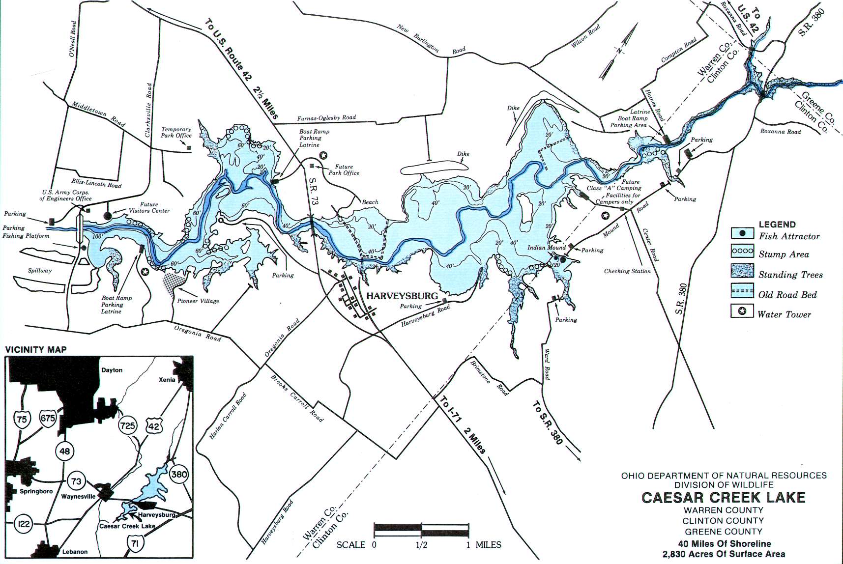
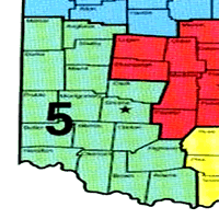
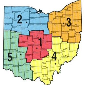
Caesar Creek Lake is in Warren – Clinton – Greene counties. The lake covers 2830 acres of fishing water with 33 miles of shoreline. This lake is in Ohio Division of Wildlife District Five(5).
Location – The lake is located four miles east of Waynesville and two miles west of I-71 along State Route 73. The lake is about 30 miles northeast of Cincinnati and 15 miles southeast of Dayton.
Approximately 30 miles northeast of Cincinnati. Approximately 15 miles southeast of Dayton.
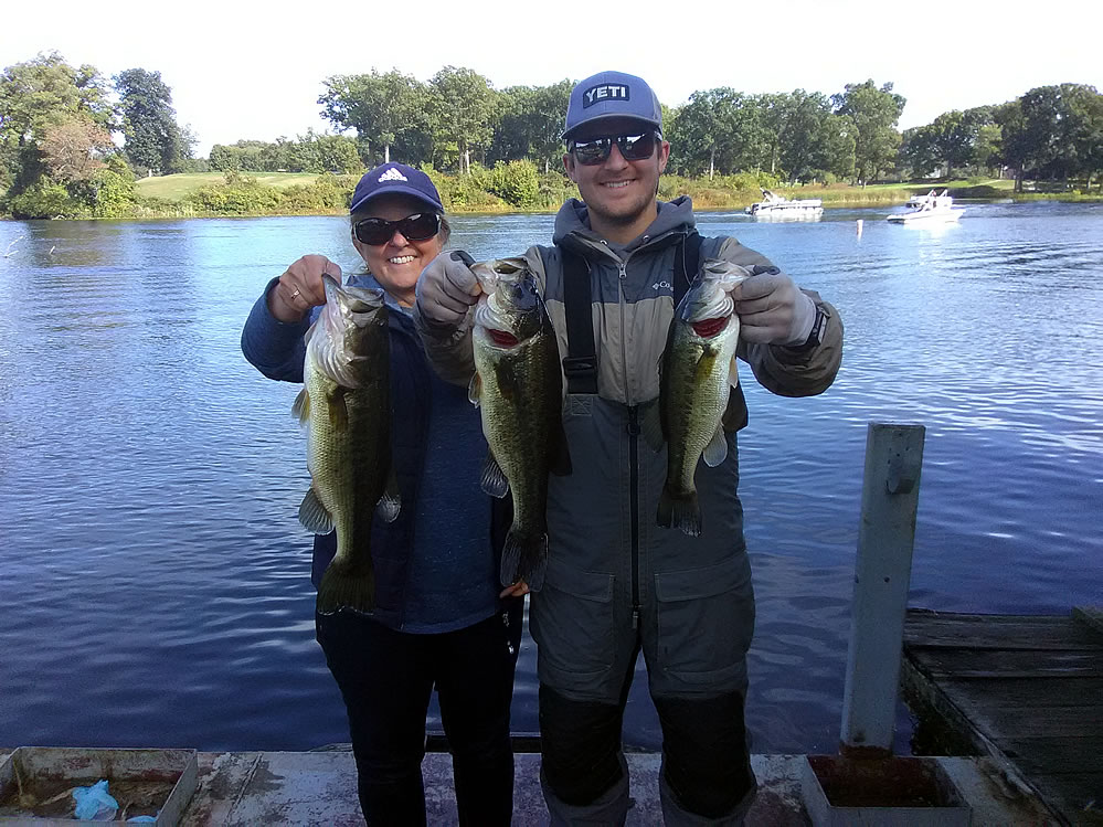
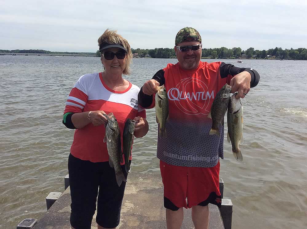
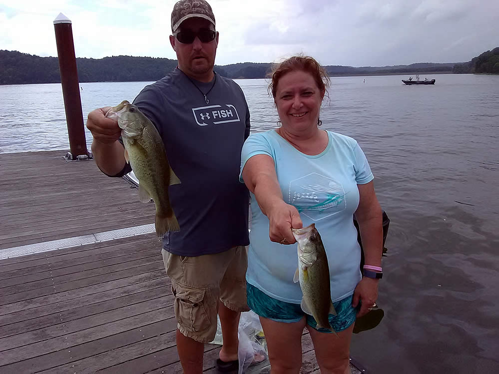
Caesar Creek Lake has; *Largemouth and Smallmouth Bass *Bluegill *Crappies *Carp *Catfish. The lake fishery has been naturally sustained through normal expansion of the streams populations and flooded ponds.
The lake features three ramps; Wellman Meadows near the dam ~ State Route 73 on the west side ~ at Haines Road on the upper end. A campground with boat launch is located at Mound and Center Roads on the upper east side.
The Ohio Division of Wildlife monitors fish populations and water quality management. Extensive habitat work prior to impoundment has resulted in an abundance of fish habitat throughout the lake.
Caesar Creek Lake - Google Maps
Ohio Adventures (Lakes to Fish!)
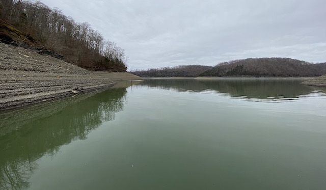
Winter Pool Bass Fishing
Many Ohio lakes have been drawn down to winter pool, leaving dry & exposed the normal shallow water areas bass hang out in. So, where do bass hang out until the lake fills
Lake Erie Walleye Fall Brawl Winners Announced!
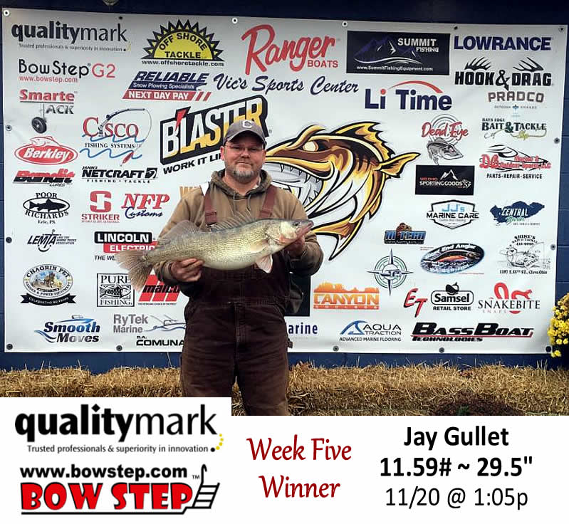
The top three places of the 2025 Lake Erie Walleye Fall Brawl have been verified and announced. Congratulations to Jay Gullet, winner of a 2026 Ranger 622 FS! He weighed an 11.59#, 29.5″ walleye November 20th. Some wild weather during the last week probably had him biting his nails up to the end. Second place winner
Turn In a Poacher (1-800-POACHER)
Ohio’s Turn In a Poacher -“TIP” program – helps to curtail poaching throughout the state by involving the public in reporting wildlife violations. If you observe a wildlife violation, click here and submit the form online or print the form and mail to:
TIP Headquarters, Division of Wildlife
2045 Morse Rd., Bldg G | Columbus, Ohio 43229-6693
Or call the TIP toll-free hotline, 1-800-POACHER.

