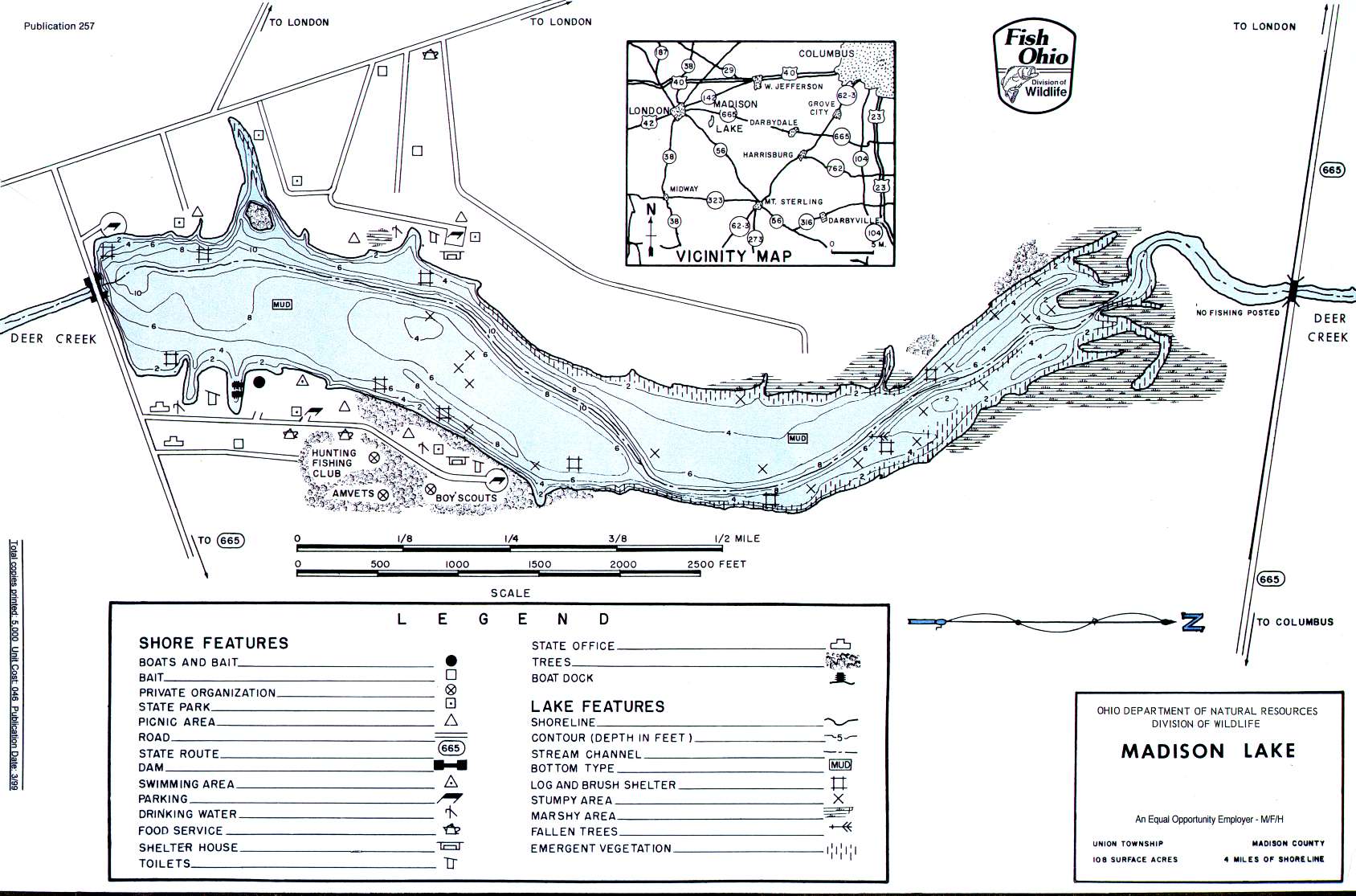
Madison Lake, OH Weather ~ 43140


Lake Milton Bass Fishing Report
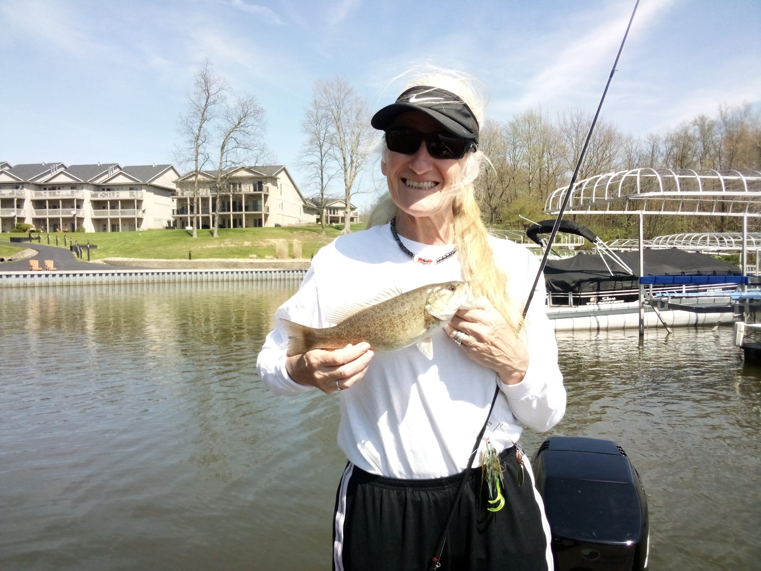
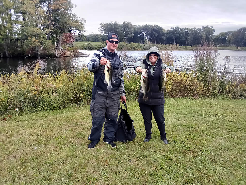
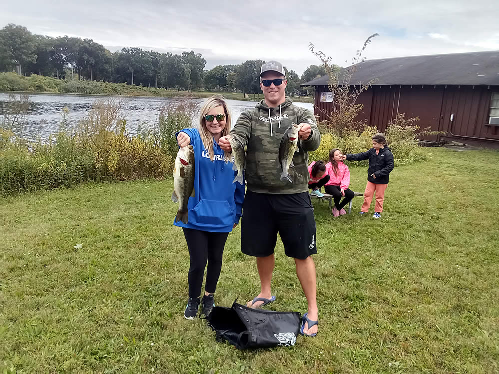
Spent some time yesterday out on Lake Milton for the first time this season. The past couple of years, I have been surprised by how far behind in vegetation growth it is in


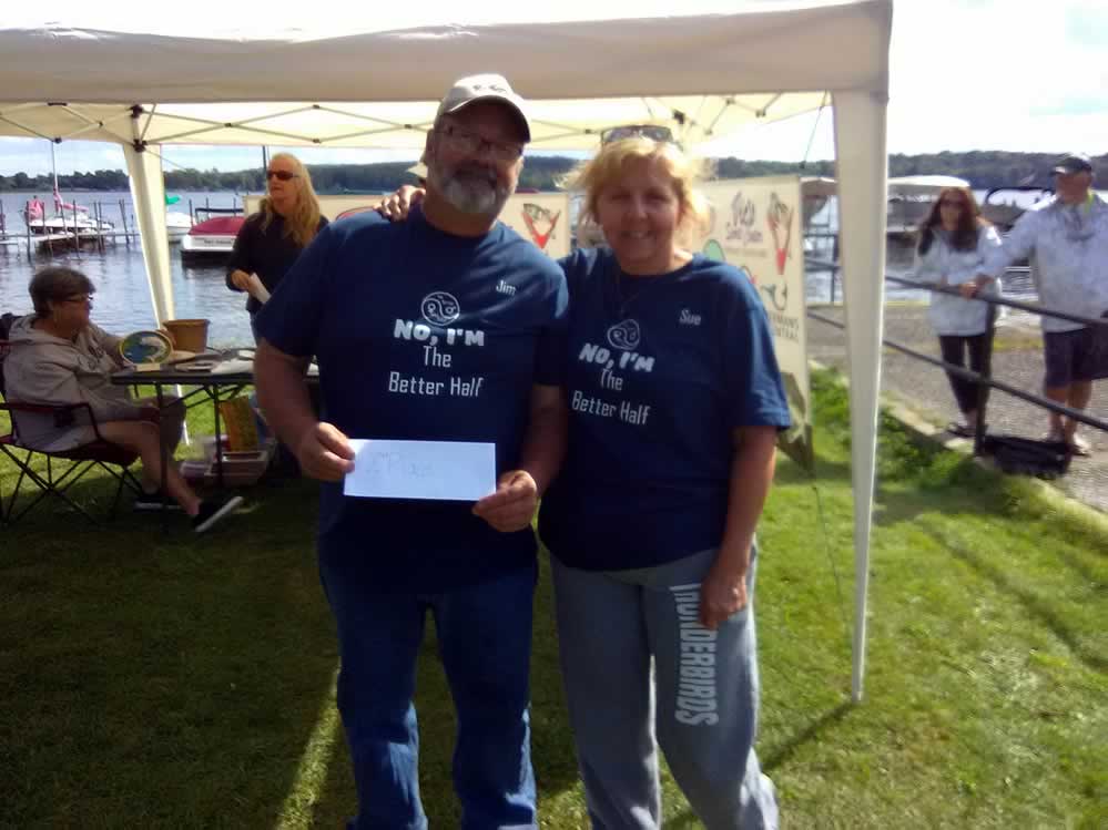
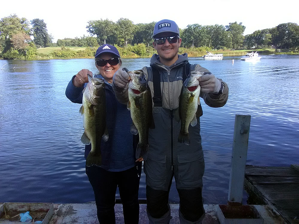

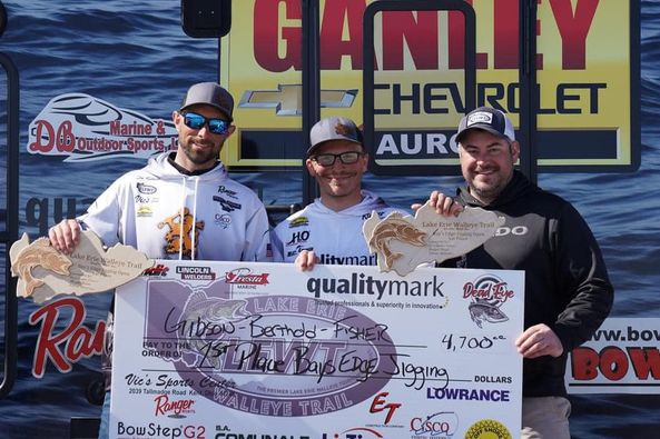
LEWT Bay’s Edge Bait & Tackle Cast & Jig Results
After having to use a “blow day” for the original tournament date on Saturday, April 20th, 39 teams headed out to fish the event on Sunday. The MVP of the event was the Lowrance Live Target units, which helped