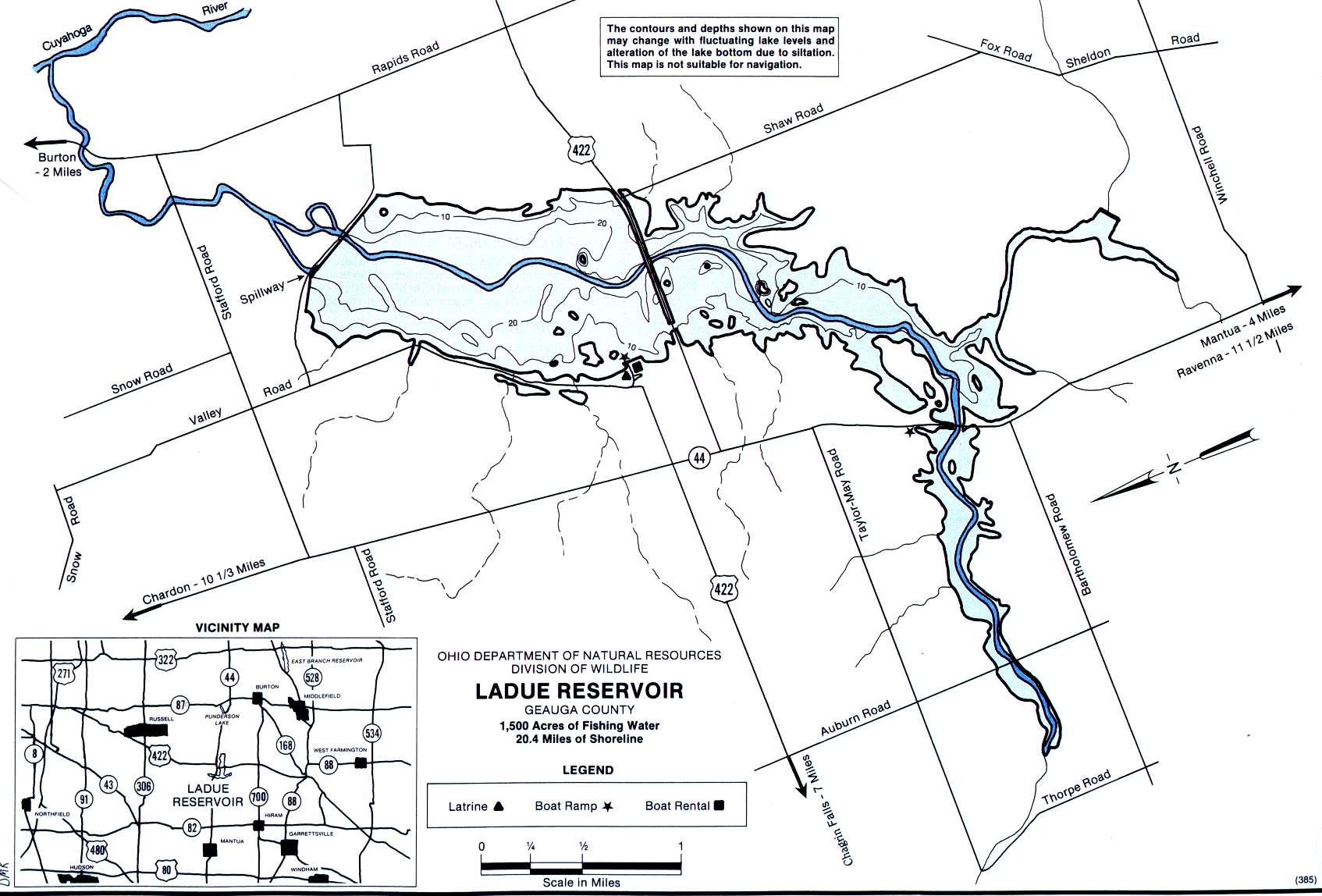
LaDue Reservoir Weather ~ 44023

AAGGHHHH! On your way to the lake and got your truck windshield chipped, cracked or broken?
We understand – we’re anglers too. Give us a call at 330-724-6323 when you get to the boat ramp, then we’ll hook up with you there and get your auto glass fixed before you head home.

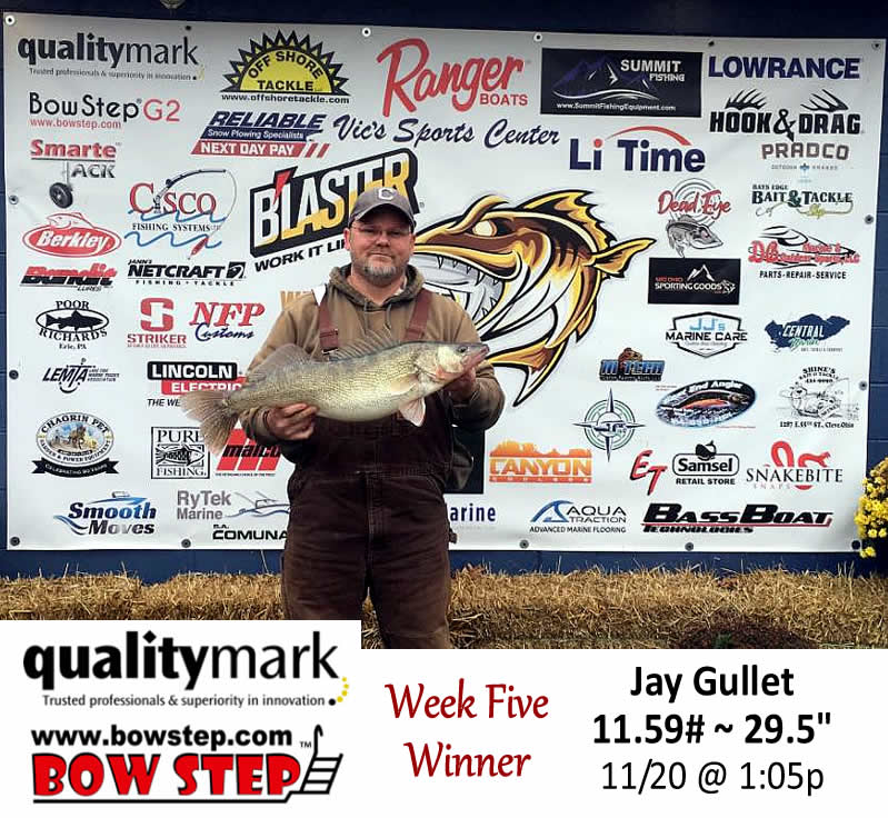
Lake Erie Walleye Fall Brawl Winners Announced!
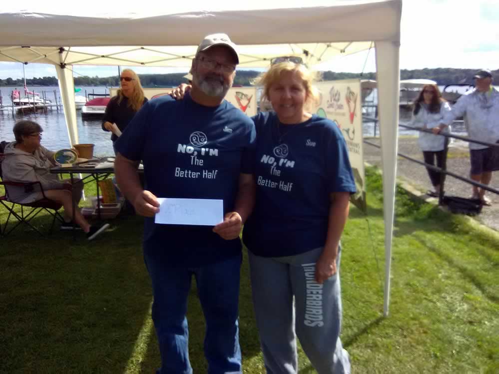
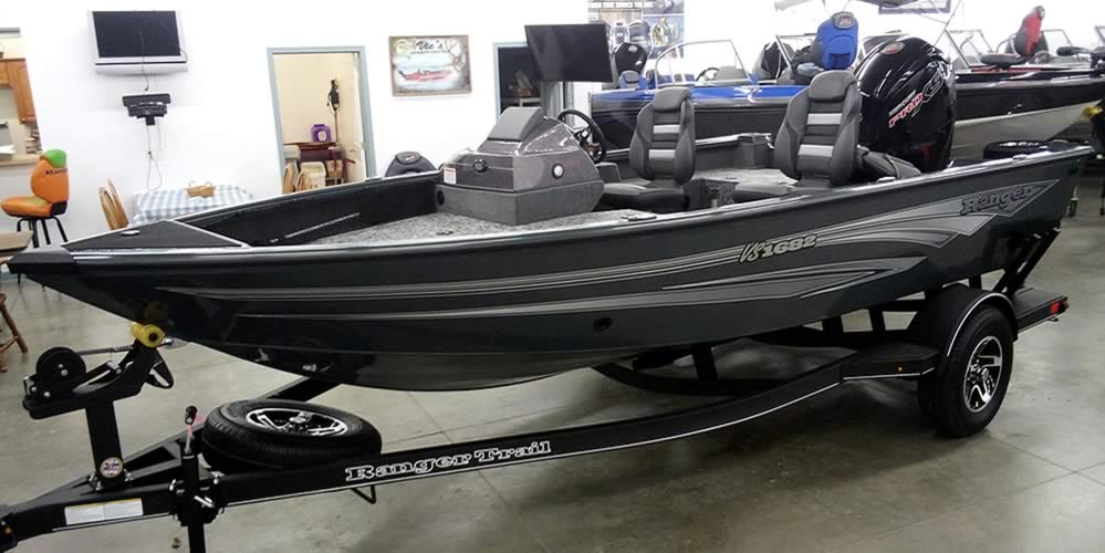
The top three places of the 2025 Lake Erie Walleye Fall Brawl have been verified and announced. Congratulations to Jay Gullet, winner of a 2026 Ranger 622 FS! He weighed an 11.59#, 29.5″ walleye November 20th. Some wild weather during the last week probably had him biting his nails up to the end. Second place winner


GoFishOhio Fishing Polls….
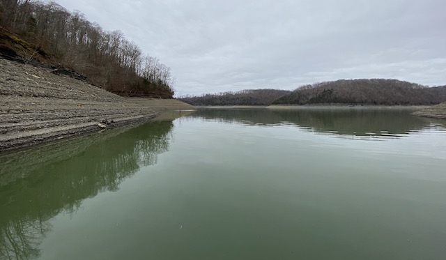
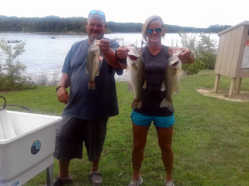
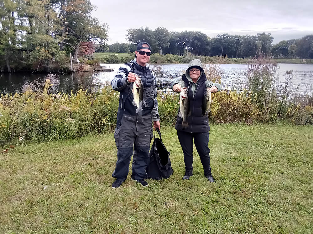
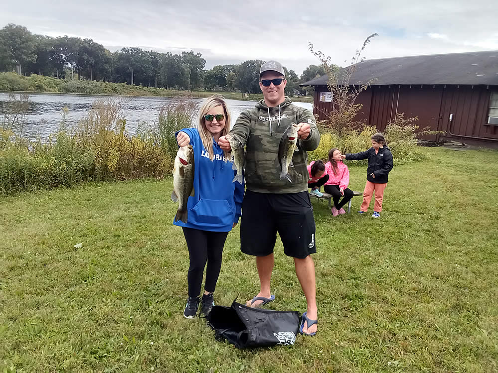
Winter Pool Bass Fishing
Many Ohio lakes have been drawn down to winter pool, leaving dry & exposed the normal shallow water areas bass hang out in. So, where do bass hang out until the lake fills