Lake Info & State Management
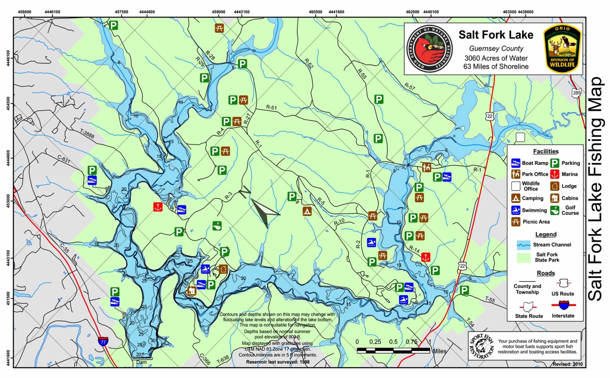
Salt Fork Lake was born in 1956 when planning for the lake was begun. Originally slated to become a water source for the city of Cambridge, the possibilities to become a major recreation area were so great that in 1960, land acquisition was begun to create a state park.
During lake construction in 1967, trees and shrubs were left standing in many of the embayments, and an artificial reef was constructed on the north branch to provide fish cover. Portions of the shoreline are covered with large boulders which serve as desirable fishing areas.
Located in the hills of southeast Ohio, Salt Fork State Park features a steep and rolling terrain that’s dissected by numerous small streams. The largest stream, Salt Fork Creek, was impounded to create 2,952-acre Salt Fork Lake.
The main entrance is seven miles east of Cambridge on U.S. Route 22. The Salt Fork Wildlife Area lies to the east of the lake.
Fish of Interest for Anglers: Largemouth Bass | Smallmouth Bass | White Bass | Walleye | Channel Catfish | Flathead Catfish | Muskellunge | Crappie | Sunfish
Boats with unlimited horsepower are permitted on the 3,060-acre lake. Combined speed/ski zones are marked by buoys. There are 10 boat launching ramps on the lake.
Boaters may camp on their boats in no-wake zones within fifty yards of shore. Swimming from boats is permitted in designated areas only.
Two marinas include 469 rental docks, comfort stations, gasoline fuel stations, parking facilities, concession areas and a variety of rental boats.
Salt Fork State Park also offers an 18-hole golf course, nine picnic areas with tables and grills, a 2,500-foot swimming beach, and 14 scenic hiking trails.
Salt Fork Lake Location ~ Google Maps
Ohio Adventures (Lakes to Fish!)
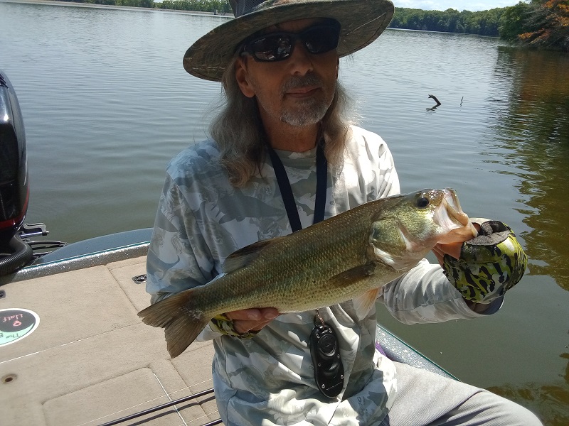
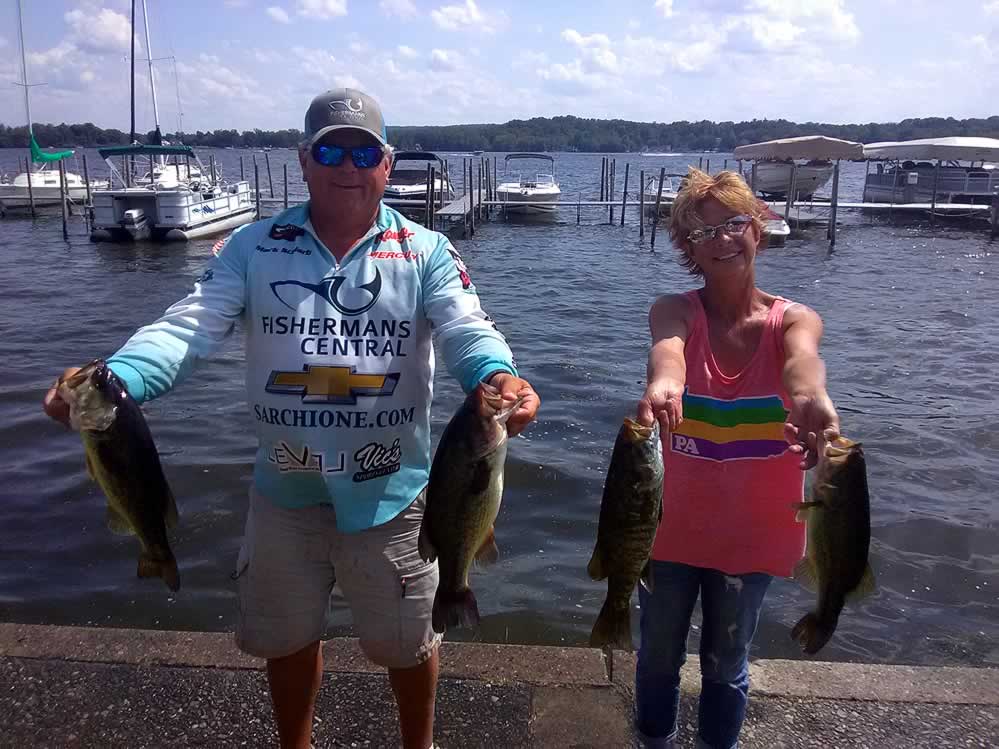
Deer Creek Reservoir Bass Fishing Report
Spent a hot, still wind day at Deer Creek Reservoir in Stark County a could days ago. Mile high blue skies, too. Deer Creek seemed a little more stained than usual, and there
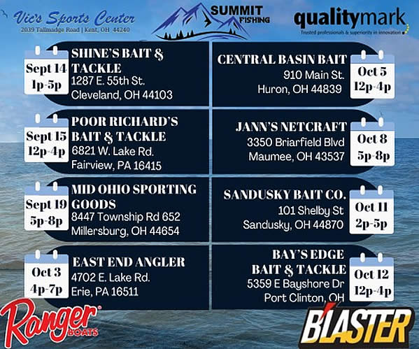
2024 Walleye Fall Brawl Sign-Up Parties
The largest walleye fishing tournament on Lake Erie is coming up NEXT MONTH. The B’Laster 2024 Walleye Fall Brawl will begin on October 19th. Here are the north coast locations and times that you can stop by and register
Turn In a Poacher (1-800-POACHER)
Ohio’s Turn In a Poacher -“TIP” program – helps to curtail poaching throughout the state by involving the public in reporting wildlife violations. If you observe a wildlife violation, click here and submit the form online or print the form and mail to:
TIP Headquarters, Division of Wildlife
2045 Morse Rd., Bldg G | Columbus, Ohio 43229-6693
Or call the TIP toll-free hotline, 1-800-POACHER.

